The Gist
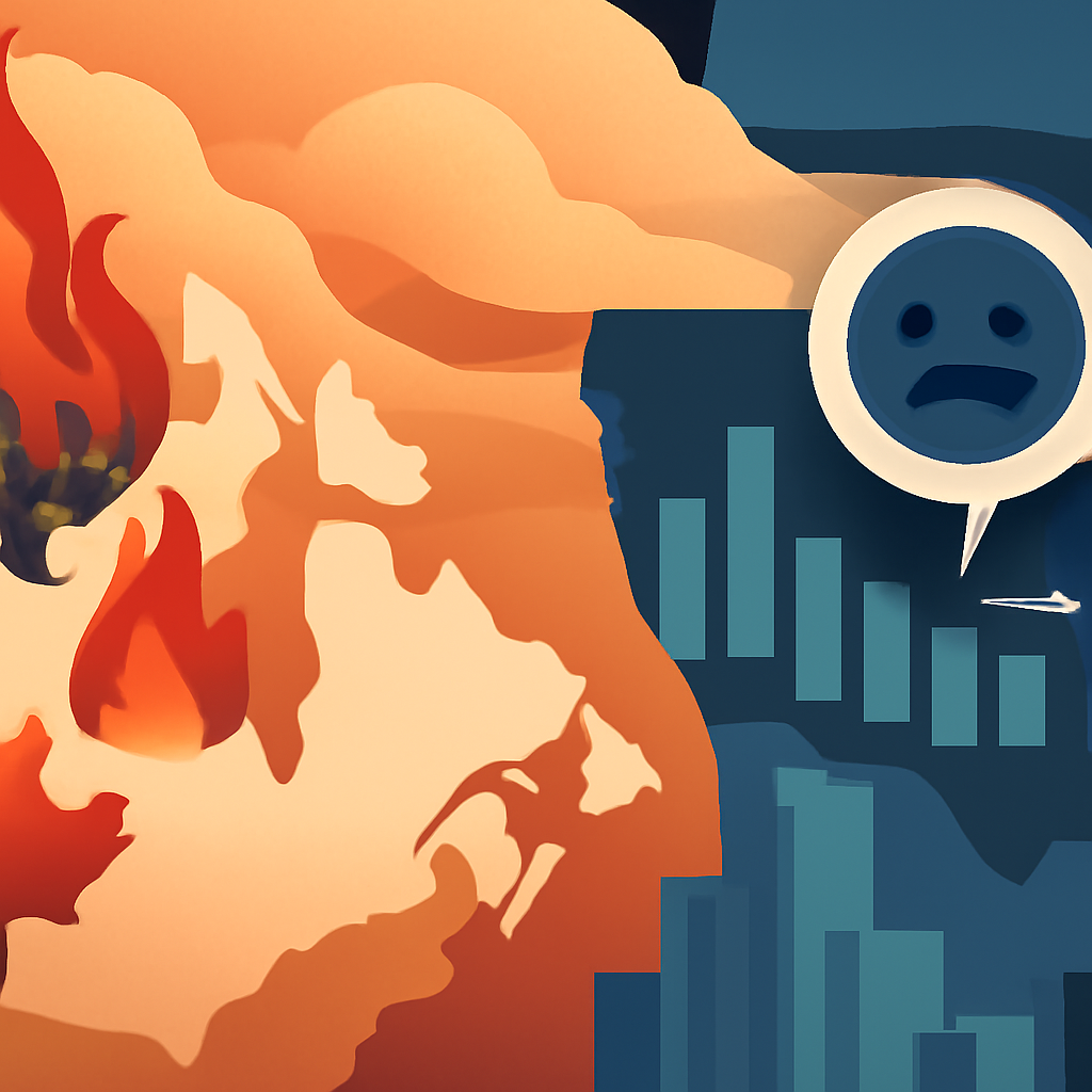
In July 2026, Canada experienced a peak wildfire season, with 857 active fires, 725 of which were classified as out of control. The smoke from these fires drifted into the U.S., significantly deteriorating air quality and leading to health alerts across multiple states.
How It Worked
The Canadian Interagency Forest Fire Centre (CIFFC) categorized fires by status and size, providing a color-coded map for real-time tracking. For U.S. air quality, the AirNow.gov platform aggregated data from various federal agencies to show regions affected by smoke. This combination of tools allowed residents to monitor both wildfire locations and air quality impacts effectively.
Results
As a result of the wildfires, areas in the Midwest and Northeast U.S. faced hazardous air quality levels. For instance, states like Minnesota and Wisconsin had portions marked as 'hazardous' or 'very unhealthy', prompting alerts from local authorities. Millions of Americans were impacted, facing potential health risks from smoke inhalation.
Why It Matters for You
Understanding how to utilize real-time mapping resources can help you stay informed about environmental hazards. By tracking air quality and wildfire locations, you can take proactive measures to protect your health and safety during wildfire seasons. Familiarize yourself with tools like CIFFC and AirNow to get timely updates.